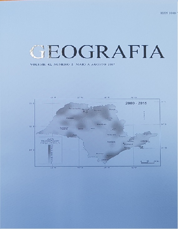
THE USE OF GEOGRAPHIC INFORMATION SYSTEMS IN THE DETERMINATION OF AREAS AT RISK OF DENGUE IN THE SÃO PAULO STATE
DOI:
https://doi.org/10.5016/geografia.v42i2.13075Resumo
The Dengue Virus is a Flavivirus transmitted to humans by Aedes mosquitoes. This arbovirus is responsible for one of the main problems of global public health, because it is estimated that over 80 million people are infected by it every year. In Brazil there are reports that dengue fever epidemics have been present from the beginning of the twentieth century. However, the first dengue fever outbreak documented in the country occurred in 1982. From that point on, the Brazilian territory has been plagued by several of these epidemics. Among the various attempts to elucidate the factors that influence the dynamics of the transmission of dengue fever, the Brazilian Ministry of Health reorganized, in 2002, the National Plan to Combat Dengue Fever and instituted a normative procedure by which the areas affected by this epidemic should be mapped. The use of geographical information systems is a powerful tool for the spatial analysis of risk; by this means the spatial distribution of the event can be described and associations between an event and its determinants can be observed. Based on these assumptions this study aims to determine the geospatial patterns of dengue fever outbreaks in S„o Paulo State, Brazil. This region has been seriously affected by successive epidemics during the last 15 years. We have used conventional and spatial analytical tools (geostatistics analysis) to discern the patterns of the epidemic scenarios. Results showed that dengue fever outbreaks have affected two principal areas of risk: one located in the northwest and the other in the central-south portion of the S„o Paulo StateDownloads
Publicado
Como Citar
Edição
Seção
Licença
Os autores mantém os direitos autorais e concedem à GEOGRAFIA o direito de primeira publicação, com os artigos simultaneamente licenciados sob a Licença Creative Commons BY 4.0, que permite o compartilhar e adaptar os artigos para qualquer fim, desde que sejam dados os créditos apropriados e as disposições dos direitos de imagem, de privacidade ou direitos morais. Outras atribuições legais podem ser acessadas em: https://creativecommons.org/licenses/by/4.0/legalcode.en.
Geografia, Rio Claro, SP, Brasil - eISSN 1983-8700 está licenciada sob a Licença Creative Commons BY 4.0


