
Geographic information system: a historical approach
Abstract
Since the ancient societies, from the invention of the telegraph in 19th Century; the mass media in the 20th Century, and, more recently, the Internet, information has flown in an ever-increasing pace. In addition, this increased speed in which information is spread has impacted on several areas of human knowledge. The introduction of computers, and more specifically Geographical Information Systems (GIS) from the 1960s, has transformed the concepts of data and information. GIS is currently widely used in the academic community as well as in the industry, generating numerous applications in different research areas in geosciences, particularly in the field of spatial analysis. Geospatial information is power because it allows the analysis of factors of the past, and its relations to specific environmental and social features of the present. Spatial analysis provides an understanding of the present, and mainly it provides one with means to infer the future of a given area. This paper aims to analyse the evolution of GIS in the last decades, approaching its development, functionalities and characteristics. In addition this paper presents the pioneers of GIS in Brazil.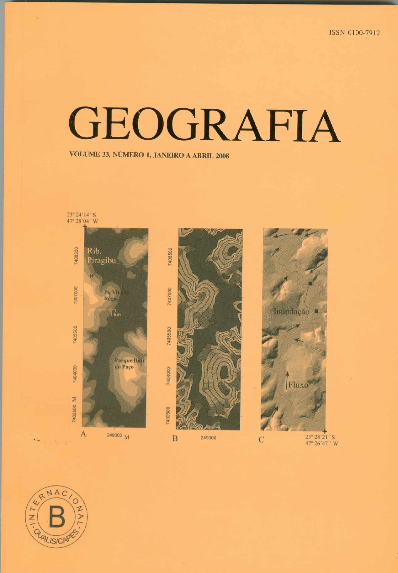
Downloads
Published
2008-10-16
Issue
Section
Article
License
Os autores mantém os direitos autorais e concedem à GEOGRAFIA o direito de primeira publicação, com os artigos simultaneamente licenciados sob a Creative Commons Attribution License, que permite o compartilhamento dos artigos com reconhecimento da autoria dos mesmos e publicação inicial nesta revista.

Geografia, Rio Claro, SP, Brasil - pISSN 0100-7912 - eISSN 1983-8700 está licenciada sob Licença Creative Commons


